
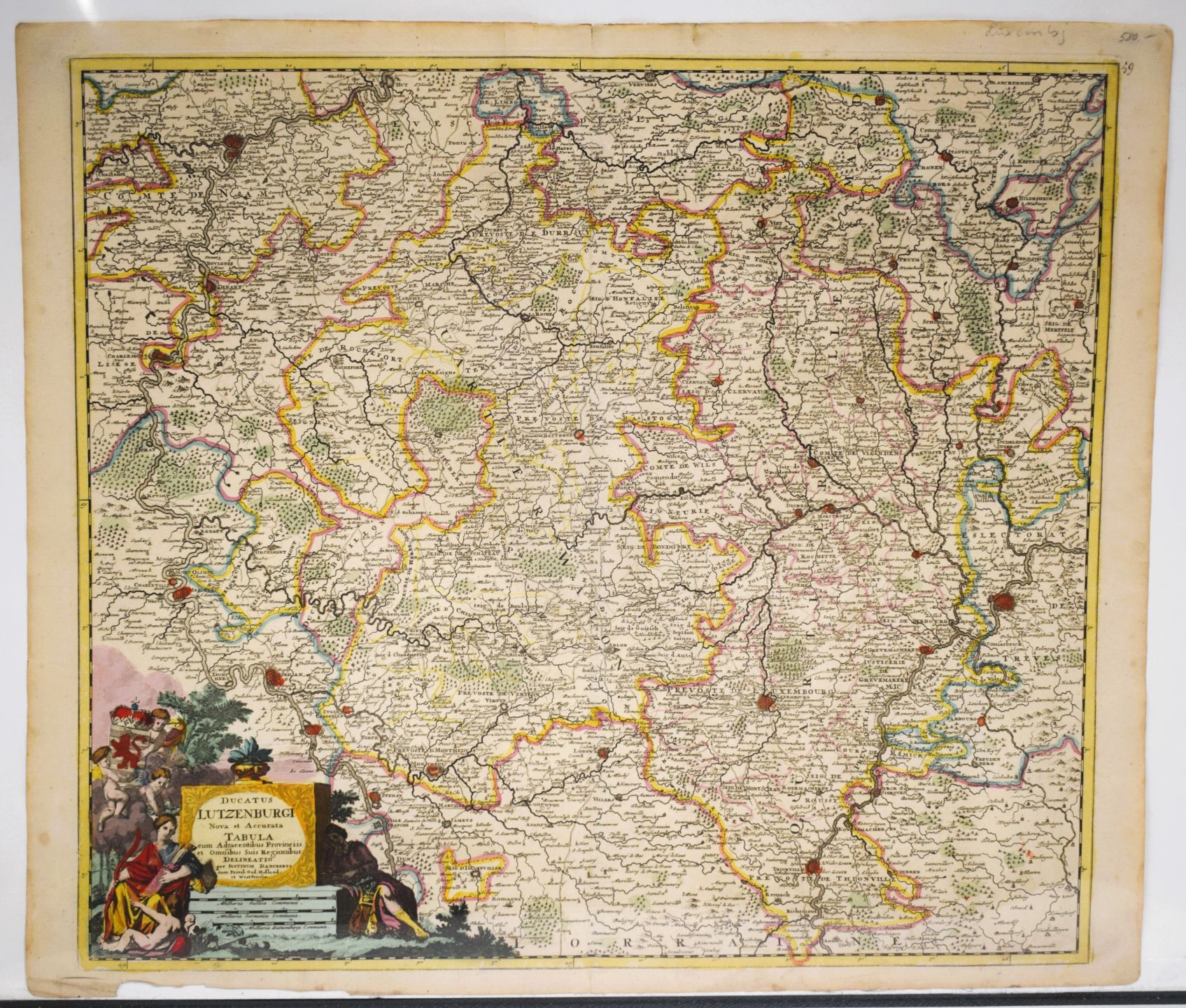

Antique watercolor map of Luxembourg, by Justin Danckerts
Low estimate
High estimate
Map of Luxembourg Ducatus Lutzenburgi Nova et Accurata Tabula cum Adjacentibus Provinciis by Justin DANCKERTS, period watercolor, 53.5 x 62 cm [Van Der Vekene - Les cartes géographiques du Duché de Luxembourg - 2.37]
#CARTE
Automatically translated by DeepL. The original version is the only legally valid version. To see the original version, switch to the French language.


