
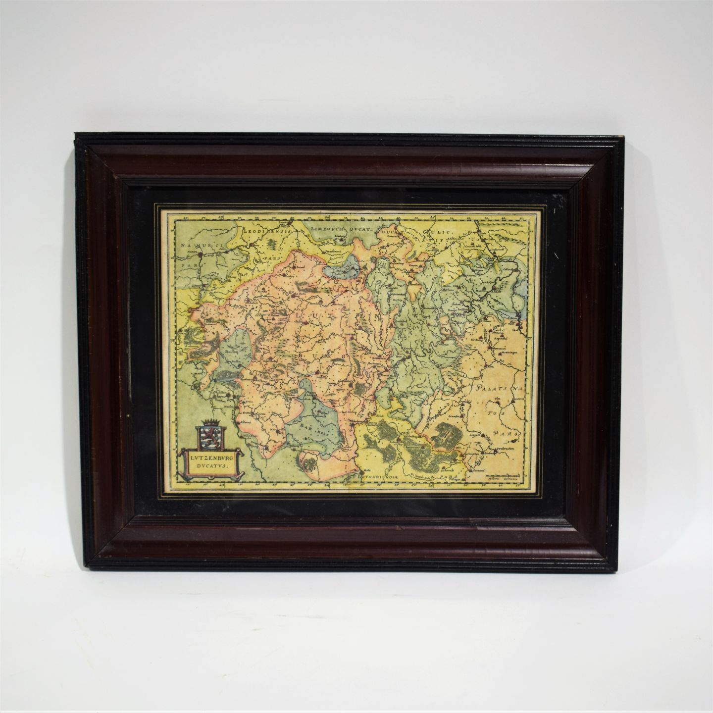

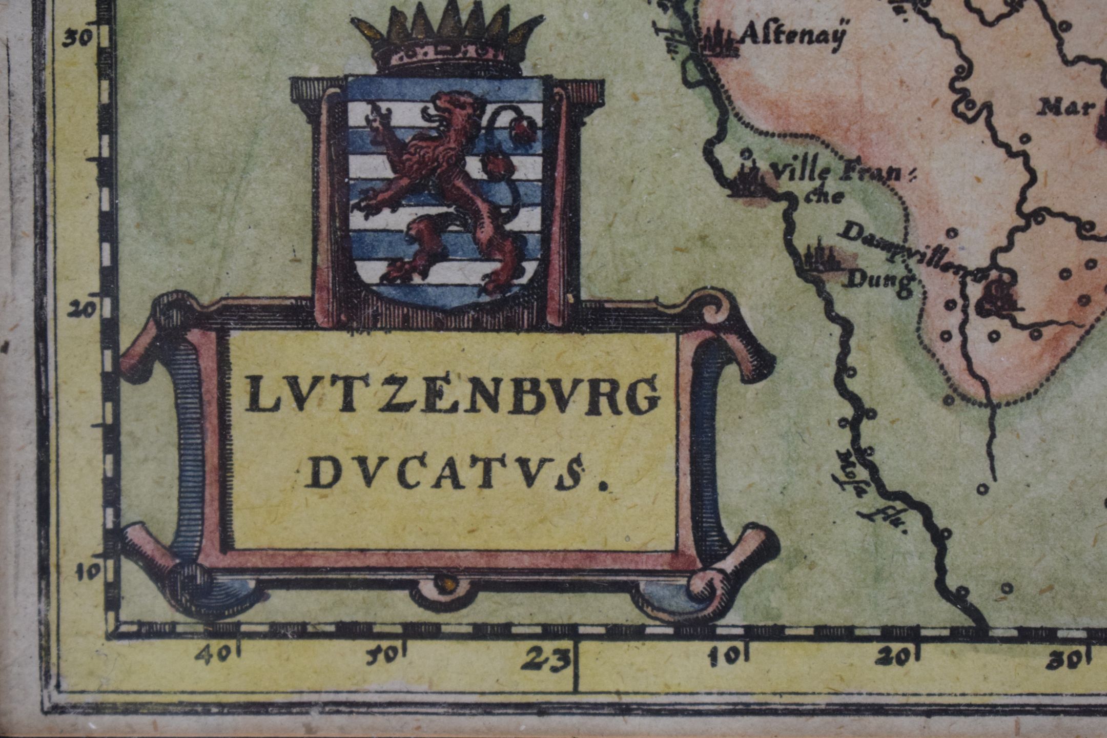
Watercolor map of Luxembourg by Merian in 1654 [Van Der Vekene].
Low estimate
High estimate
Map of Luxembourg Lutzenburg Ducatus, by MERIAN, 1654, entirely watercolored, - Dimensions : 26 x 34.5 cm (view) [Van Der Vekene - Les cartes géographiques du Duché de Luxembourg - 2.19]
#CARTE
Automatically translated by DeepL. The original version is the only legally valid version. To see the original version, switch to the French language.


