

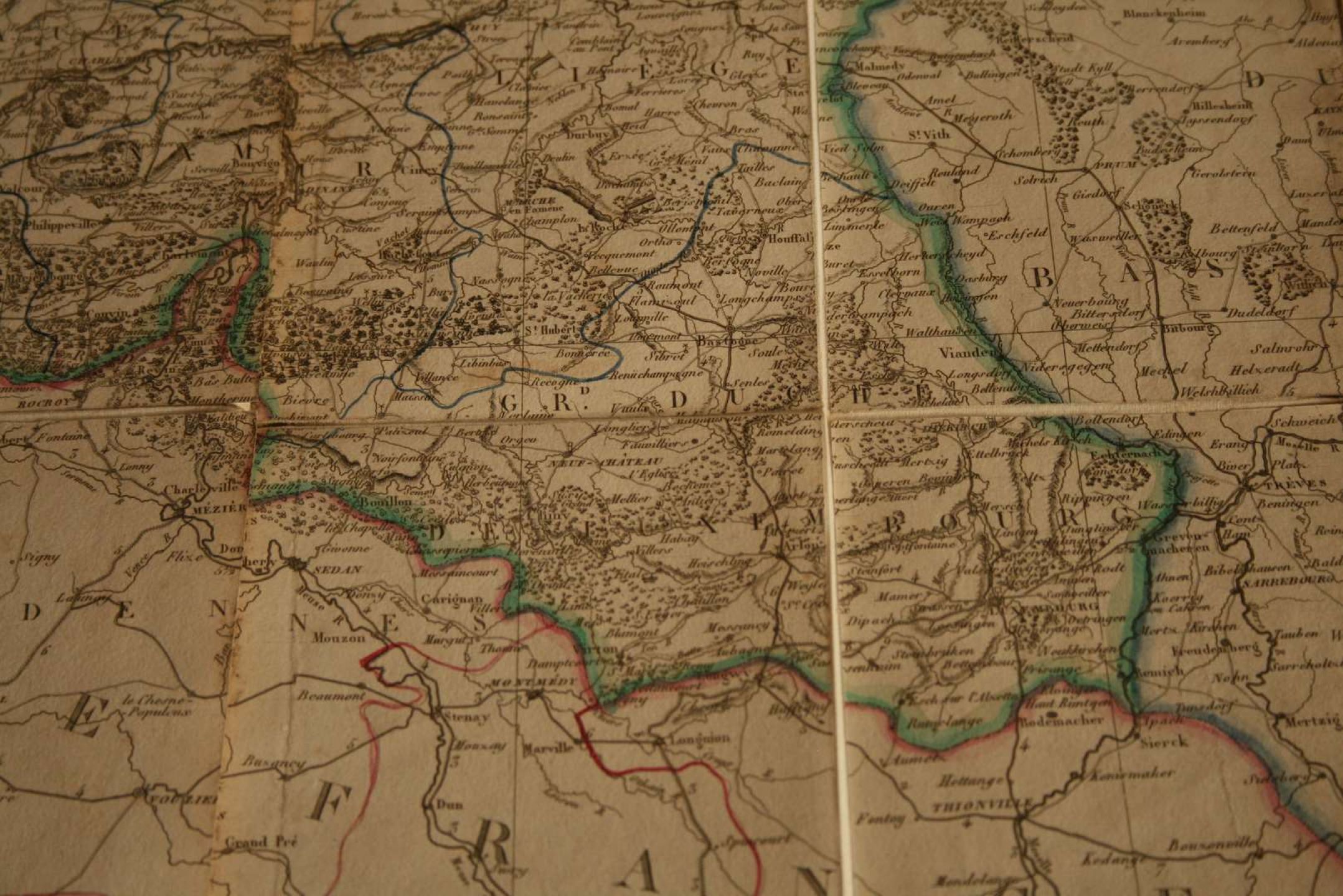
Geographic map
Low estimate
High estimate
Sold for
Road map of the Kingdom of the Netherlands including Holland and Belgium (and Luxembourg) divided by Provinces, drawn by HERISSON, 1830 - Canvas map with watercolored outlines - Dimensions : 113 x 78 cm
Automatically translated by DeepL. The original version is the only legally valid version. To see the original version, switch to the French language.


