
Germany
Low estimate
High estimate
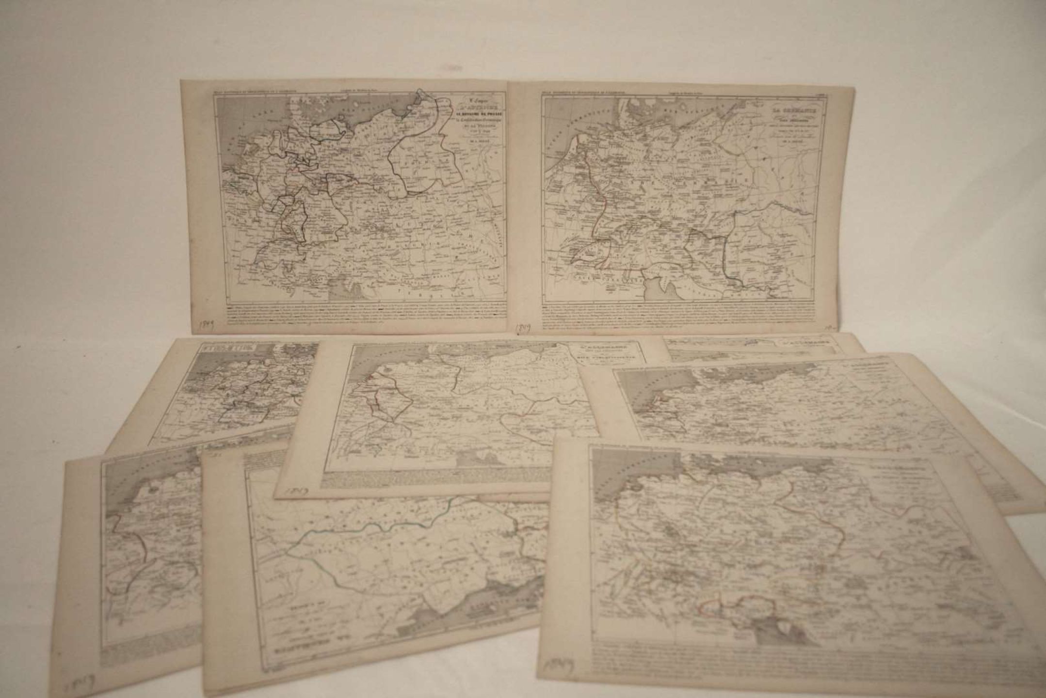
12 Maps with watercolor outlines tracing the evolution of the borders of Germany and the neighboring countries by Houzé, 1849 - Dimensions : 25 x 34 cm
Automatically translated by DeepL. The original version is the only legally valid version. To see the original version, switch to the French language.


