
Normandy
Low estimate
High estimate
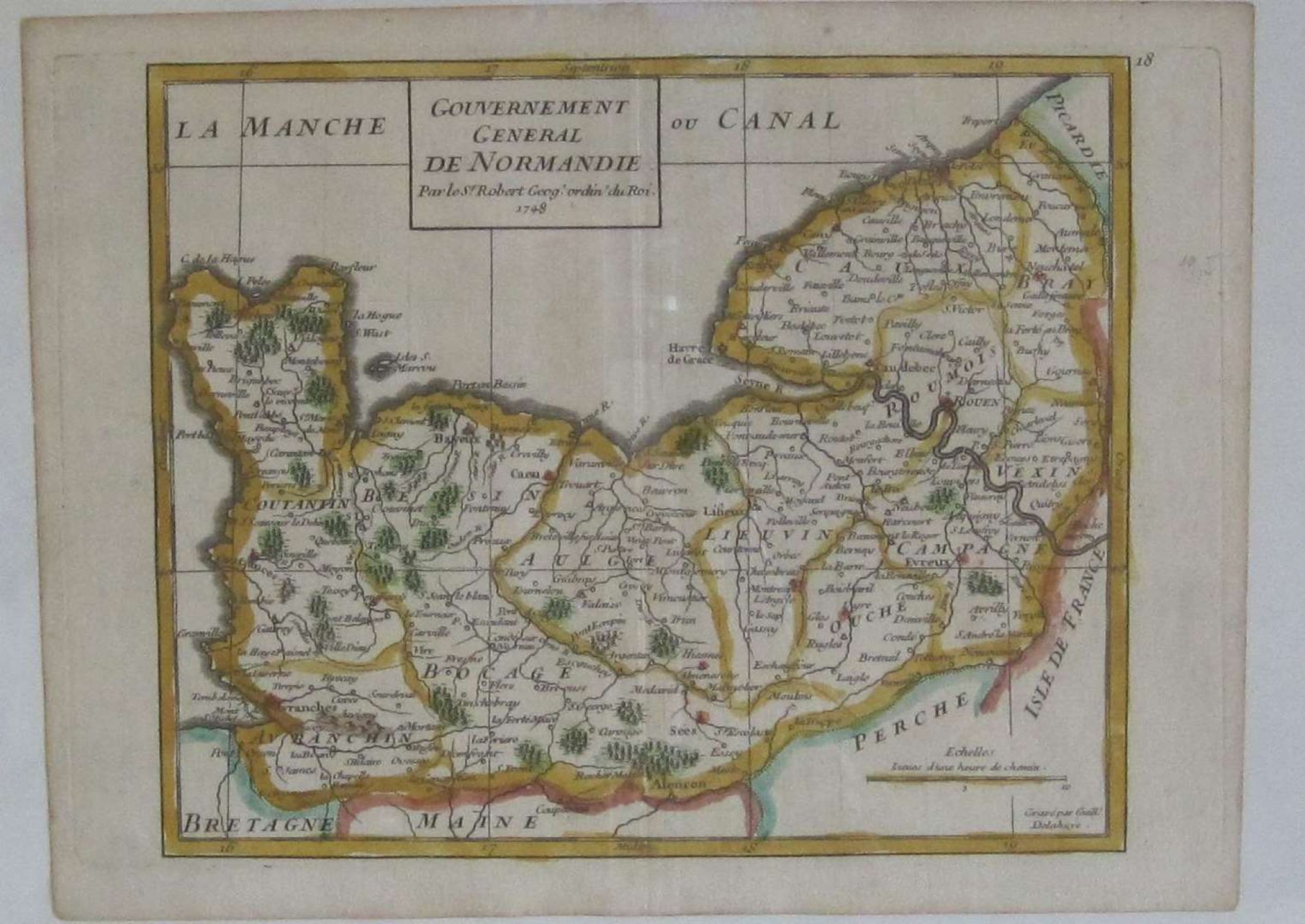
Map of the general government of Normandy by Sr ROBERT, ordinary geographer of the King, 1748 - Collaged contours - Dimensions : 245 x 183 mm
Automatically translated by DeepL. The original version is the only legally valid version. To see the original version, switch to the French language.


