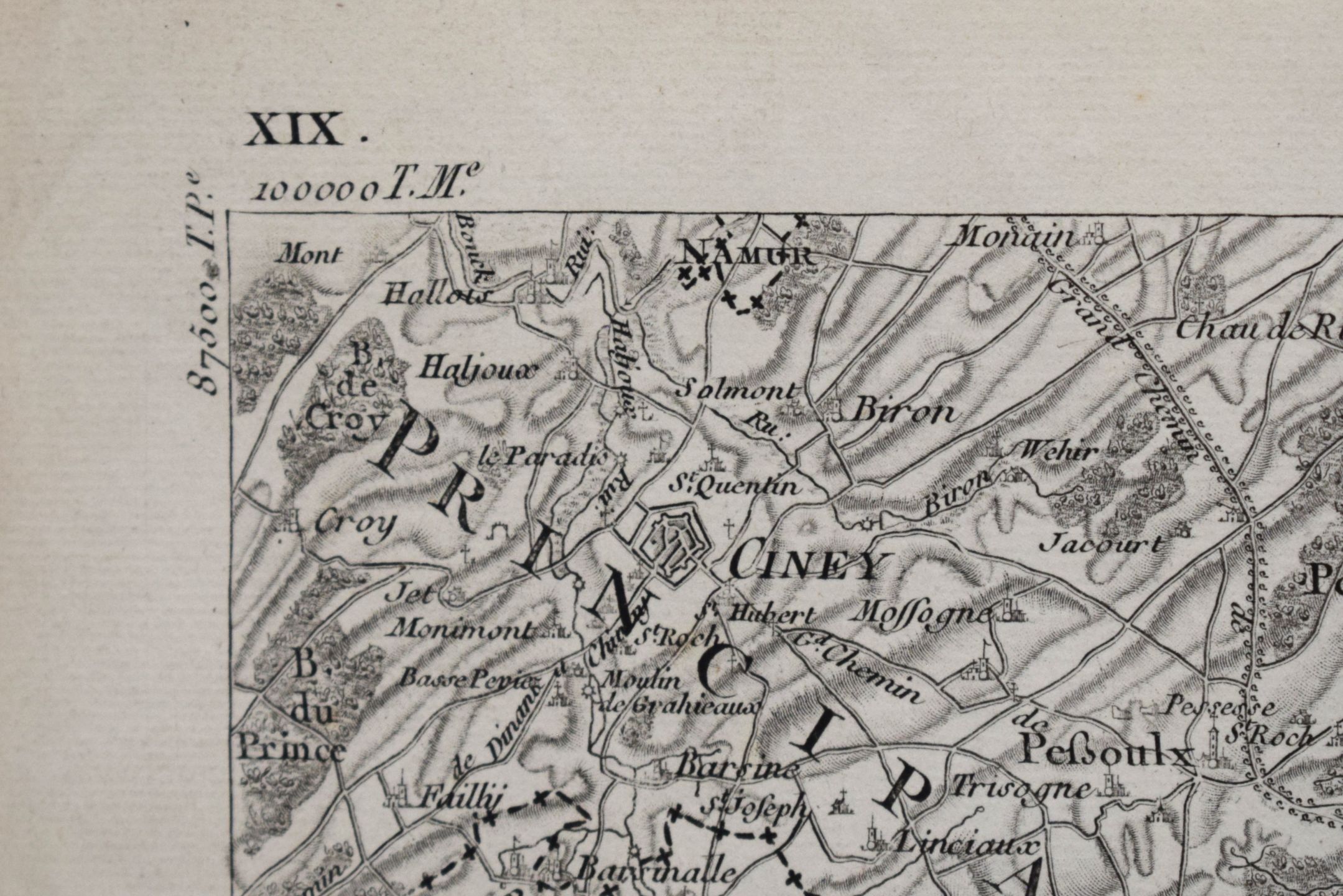


Topographic map of the northern Duchy of Luxembourg and the Belgian Ardennes
Low estimate
High estimate
Large, handsome 1:20,000 topographical map of part of the former Duchy of Luxembourg, here the northern part of the country and the Belgian Ardennes, 2nd half of the 18th century, engraved by DUPUIS, fine condition, 63 x 94 cm
#CARTE
Automatically translated by DeepL. The original version is the only legally valid version. To see the original version, switch to the French language.