
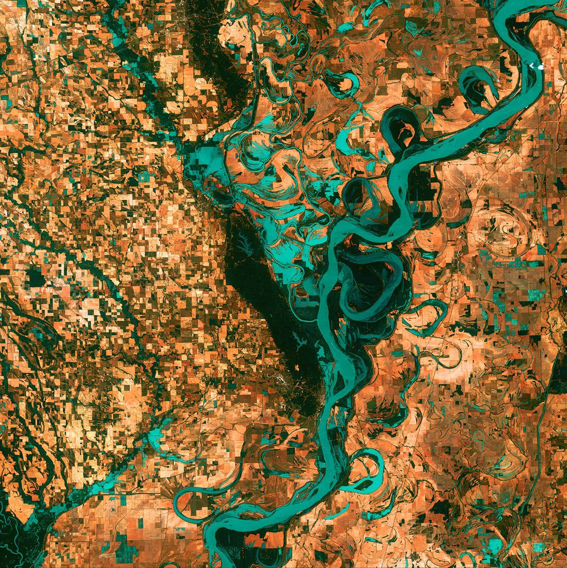
Satellite view of the Mississippi: scientific geological photography, May 2003
Low estimate
High estimate
Nasa. LARGE FORMAT. Satellite view (LANDSAT) from space of the MISSISSIPI river. Geological scientific photography. Small, irregularly shaped towns, fields and pastures surround the graceful swirls of the Mississippi River. Countless rainbow lakes and stream breaks accompany the meandering river south of Memphis, Tennessee, on the border between Arkansas and Mississippi, USA. The Mighty Mississippi is the largest river system in North America. May 2003.
Vintage chromogenic print. Reference and numbering on front. Label on back. 40.6 x 40.6cm with margins.
Automatically translated by DeepL. The original version is the only legally valid version. To see the original version, switch to the French language.


